
Description
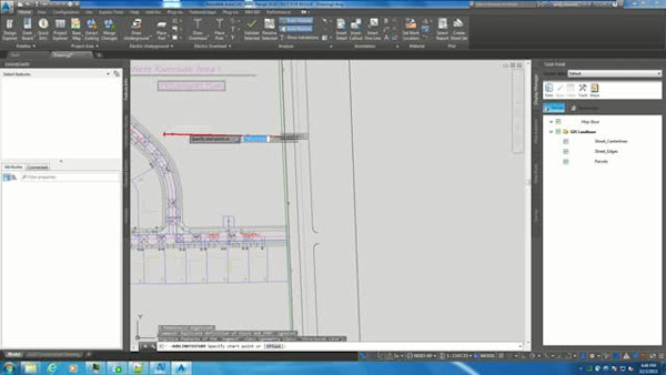
Learn how a Linear Referencing System (LRS) can more easily and more accurately put together reports and maps required to meet all of the new regulations for utilities. Linear referencing (also known as dynamic segmentation) can provide a means of defining a complete pipe as a collection of segments and measured distances. We can model assets and observationssuch as regulator stations, leaks, and inspectionsbased on their distances from the start of the pipe. With the help of Brockwell IT, Okaloosa Gas District has incorporated LRS into the AutoCAD Map 3D Enterprise software Gas Data Module on Oracle Spatial. Using new and existing information in the database enables for easier changes, more accurate reporting, and much more attractive maps. Attendees should have an intermediate level of skill.
Key Learnings
- Understand what Linear Referencing can do for the utility business
- Understand the Linear Referencing System concepts of definition, axis, segment, asset, and route
- Understand how to create a new Linear Referencing System definition and apply it to your business
- Understand how to describe your utility needs to someone who has no current knowledge of your system
Downloads
Tags
Product | |
Industries | |
Topics |
People who like this class also liked
Instructional Demo